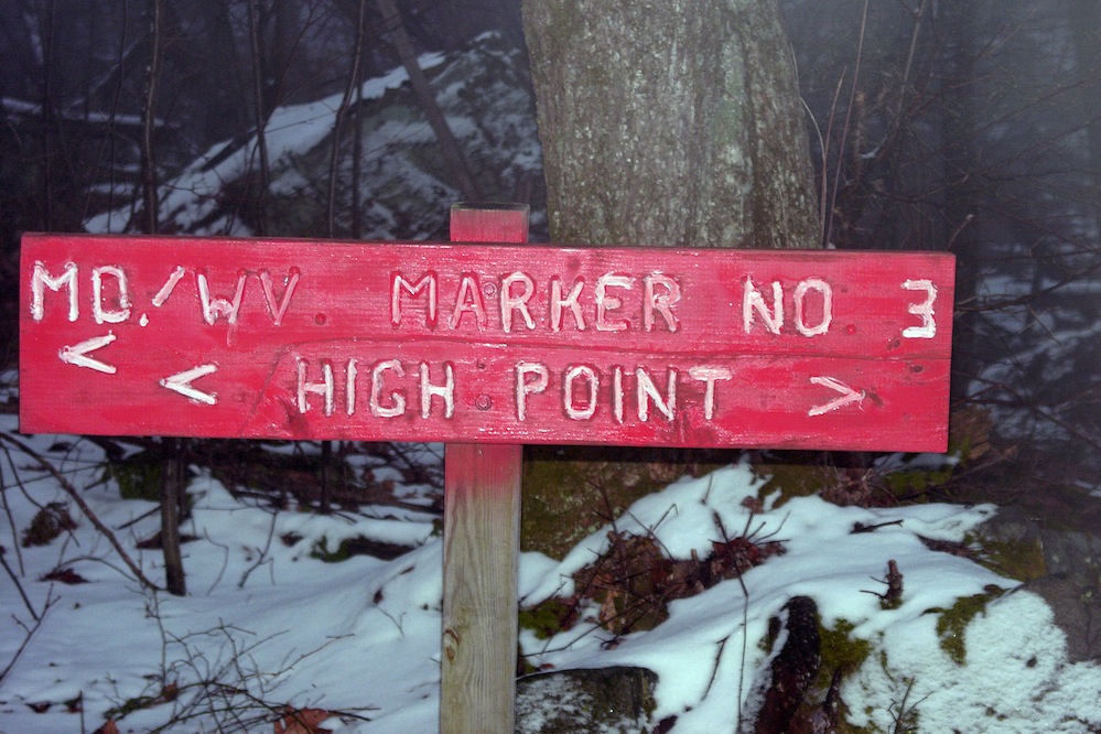
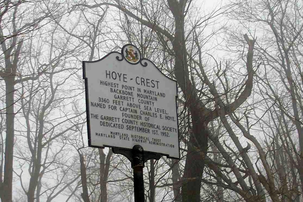


Backbone Mountain is the high point in the state of Maryland at 3,360ft (1024m). It is located in the Allegheny Mountains of the central Appalachian Mountain Range and stretches approximately 39 miles southwest to northeast, and forms a portion of the Eastern Continental Divide. It’s a boundary between two watersheds: The headwaters of the Youghiogheny River, in the Mississippi River watershed, lie just northwest, and the headwaters of the North Branch of the Potomac River lie just south, along the West Virginia-Maryland border.

