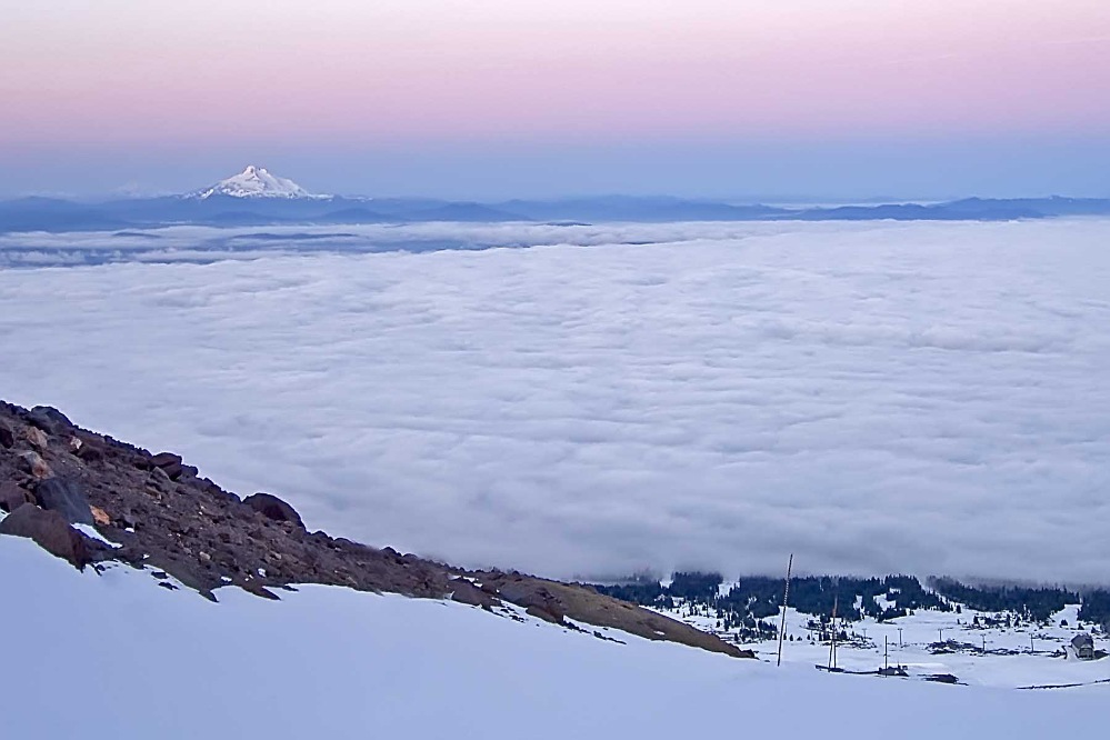
Mount Hood is a mountain that gets little respect despite being spectacular and deadly. It is the fourth highest in the Cascades — far lower than 14,000 foot giants Mt. Rainier and Mt. Shasta and over a thousand lower than Mt. Adams. However, the peak is dearly beloved in Portland where it dominates the skyline. It is heavily glaciated and receives staggering amounts of snowfall every winter. Four live web cams keep an eye on the peak for the armchair hiker.Â
The south side is the standard climbing route, made easier by a ski lift running from Timberline Lodge up to about 8,500′. The lift runs virtually year-round, but starts too late in the day for climbers wishing for optimal glacier conditions. Snow-cats can be hired for pre-dawn trips up to the top of the lift, or the liftline can be hiked, adding a couple hours to the ascent. From the top of the lifts, the route easily ascends broad, sloping snowfields to a ridge of snow called the Hogsback. The top part of this ridge is split by a bergschrund, usually the only crevasse on the trip. Once this obstacle is turned, a short but steep stretch of ice or snow (the “Pearly Gates”) leads directly to the summit. Like Rainier it is a stratovolcano. It has 2 recorded eruptions in past 200 years (1865; 1859) There are numerous fumaroles emitting steam and other gases on the upper southwestern sides. Mount Hood’s timberline wilderness is a pastoral garden for backpackers.Â
In winter and spring the volcano’s slopes host several downhill ski runs and cross-country tracks. U.S. Highway 26 crosses the south flank of Mount Hood, and Oregon Highway 35 meets it along the east side. A hiking trail encircles the volcano, much of which is protected within the Mount Hood Wilderness, part of the Mount Hood National Forest. It was named after a British admiral and first described in 1792 by William Broughton, member of an expedition under command of Captain George Vancouver. Twelve glaciers and named snowfields cover approximately 80% of the cone.


