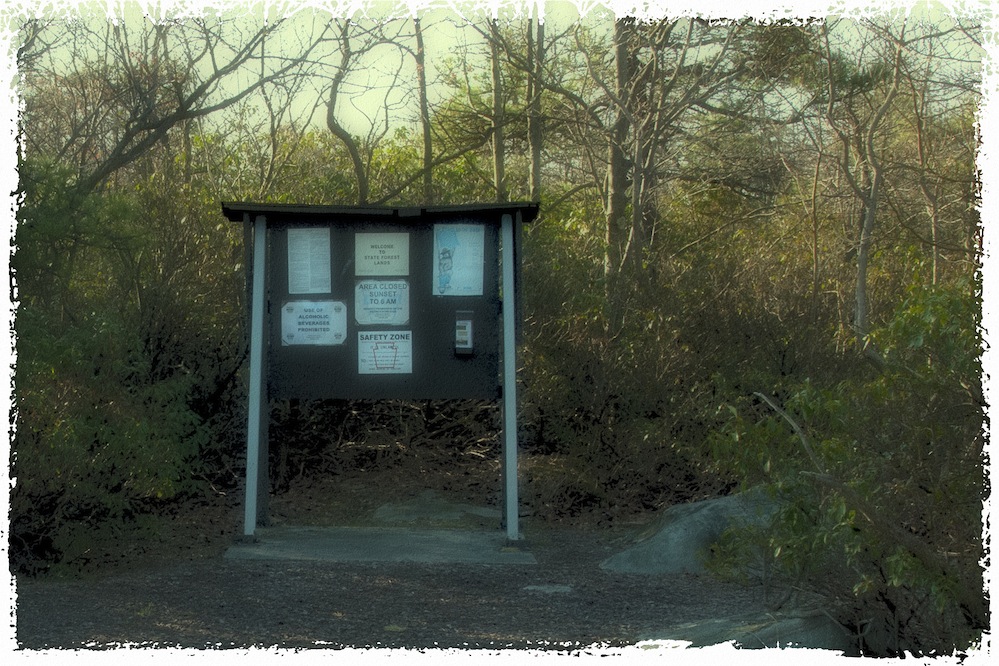
Mount Davis is the highest point in Pennsylvania at 3,213ft (979 m), located in Elk Lick Township in southwestern Somerset County. It lies on a 30-mile ridge line extending from central Somerset County southward into Garrett County, Maryland known as Negro Mountain. Negro Mountain is part of the Appalachian Mountains.
The rock is surrounded by 581 acres known as the Mt. Davis Natural Area, which offers trails to hikers, a picnic area, and an observation tower. The tower is accessible from State Road 55008 at the top of the summit and is located about a mile south of the state road.
Mt. Davis itself is named for the man who surveyed it, John N. Davis, who was a pioneer farmer in the Negro Mountain district, land surveyor and educator. He owned the tract on top of Negro Mountain.


