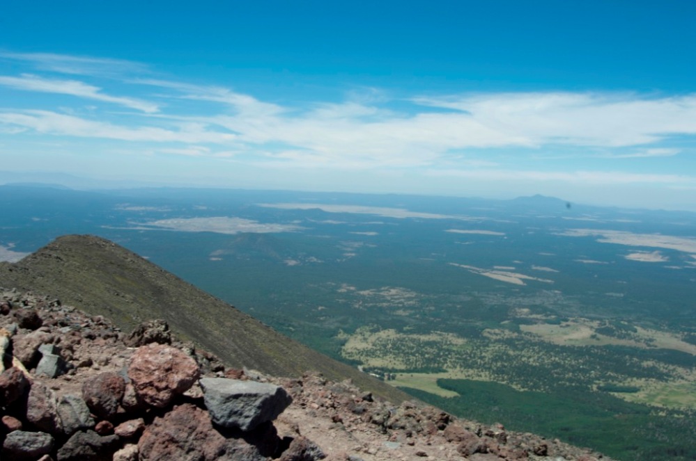
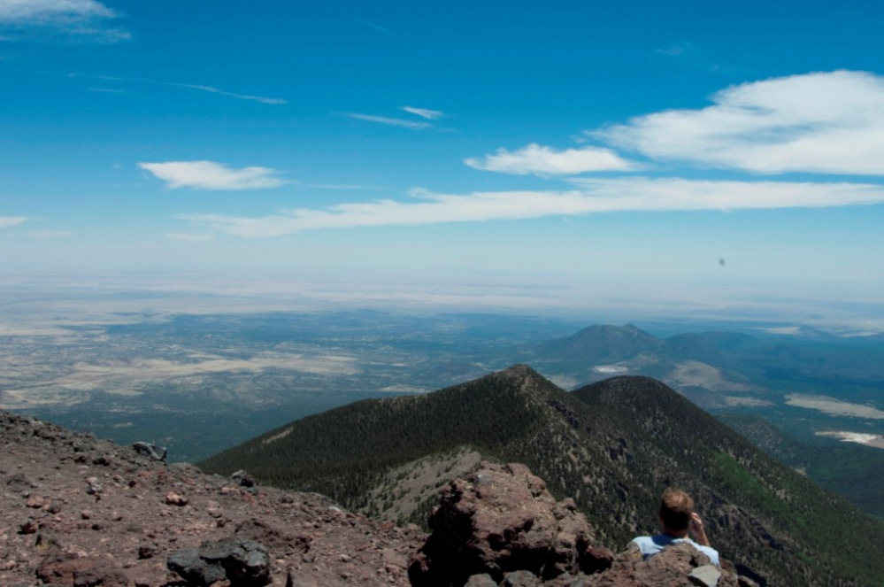
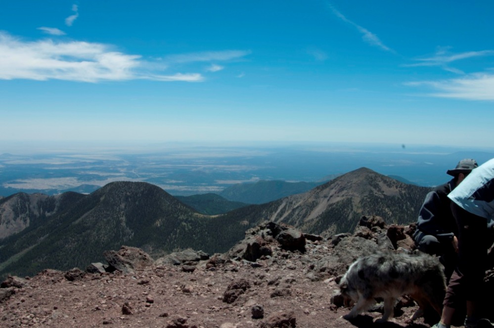
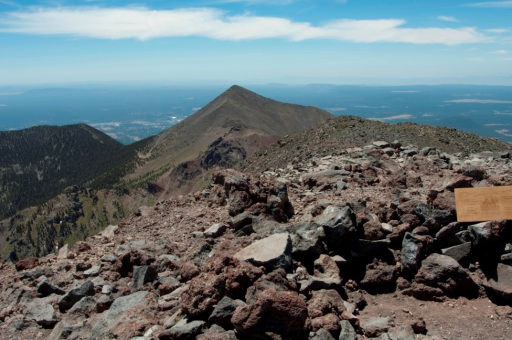
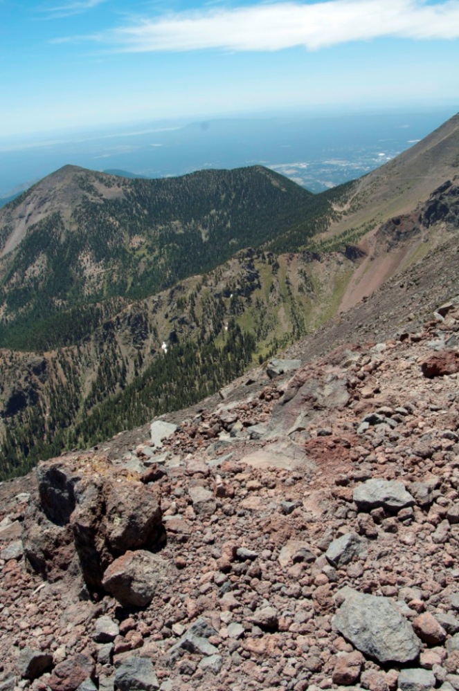
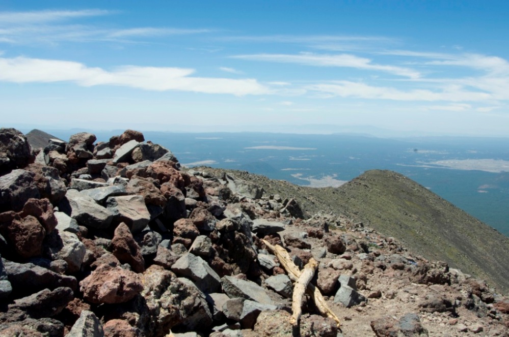
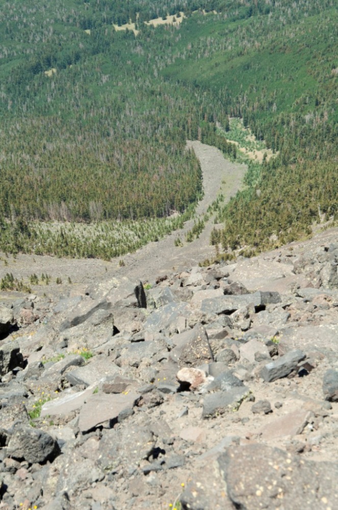
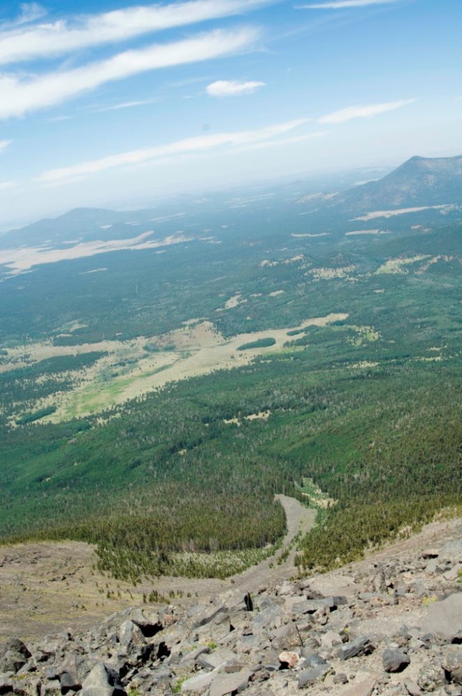
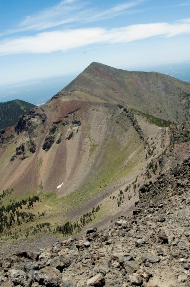
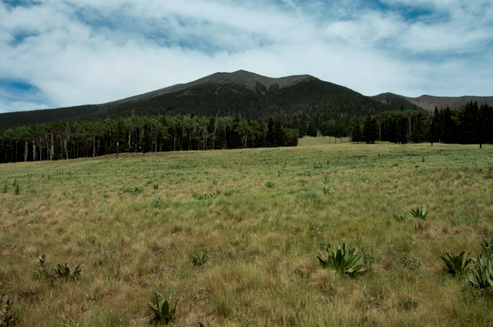
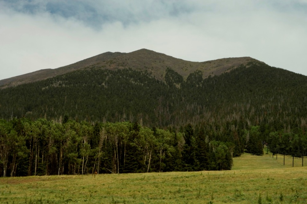
Humphreys Peak is the highest point in the U.S. state of Arizona and is located in Coconino County, about 11 miles (17.7 km) north of Flagstaff, Arizona. Humphreys Peak is the highest of a group of ancient volcanic peaks known as the San Francisco Peaks.Â
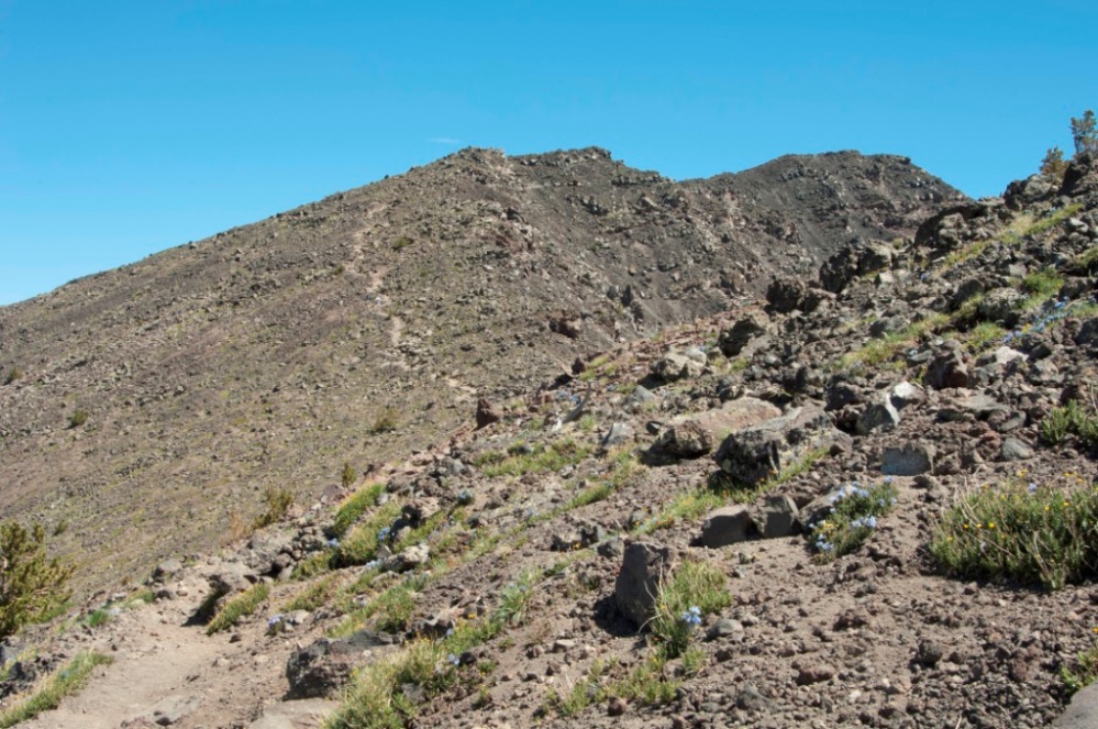
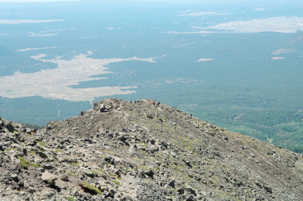
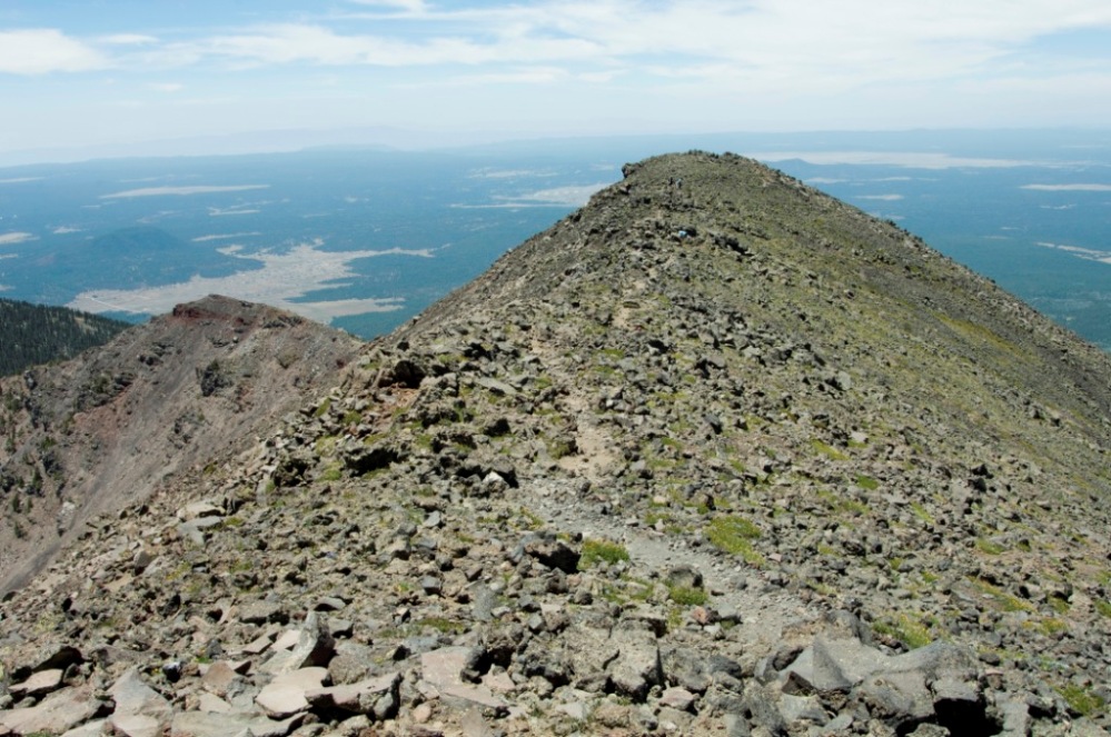
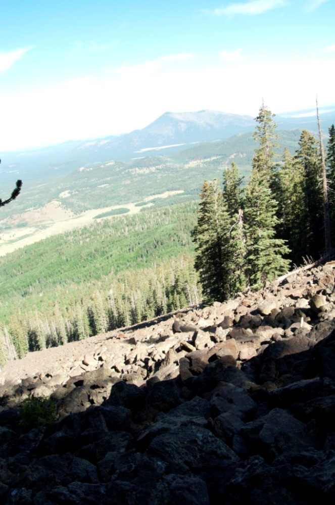
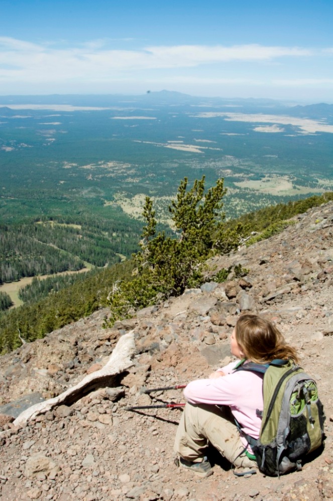
The summit can be most easily reached by hiking the 4.5 miles (7.2 km) long Humphreys Trail that begins at the Arizona Snowbowl ski resort in the Coconino National Forest. The last 1 mile (1.6 km) of the trail traverses the only region of tundra in Arizona, at an elevation of more than 11,500 feet (3,505 m).Â
Humphreys Peak was named in about 1870 for General Andrew A. Humphreys, a U.S. Army officer who was a Union general during the American Civil War, and who later became Chief of Engineers of the United States Army Corps of Engineers. However, a General Land Office map from 1903 showed the name San Francisco Peak applied to this feature (apparently borrowed from San Francisco Mountain on which the peak stands). Thus the United States Board on Geographic Names approved the variant name in 1911. In 1933, the application of the names was rectified.[2] Humphreys Peak should not be confused with Mount Humphreys, a higher peak in the Sierra Nevada.

